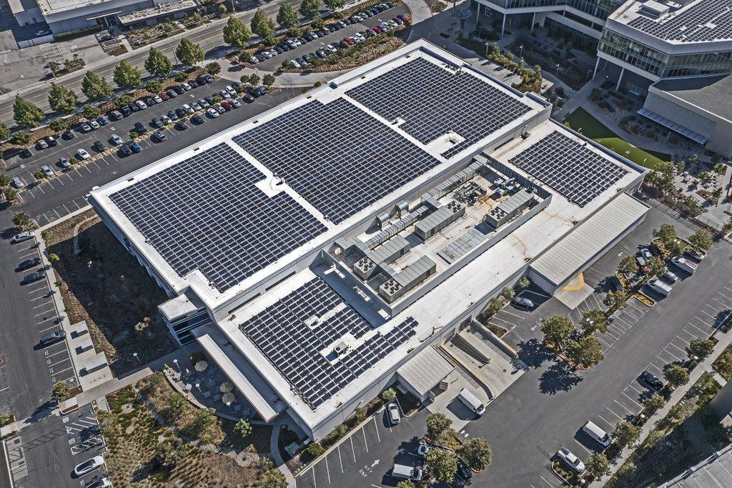
Energy & Utilities
Thermal inspections and visual assessments of solar installations, equipment and infrastructure.
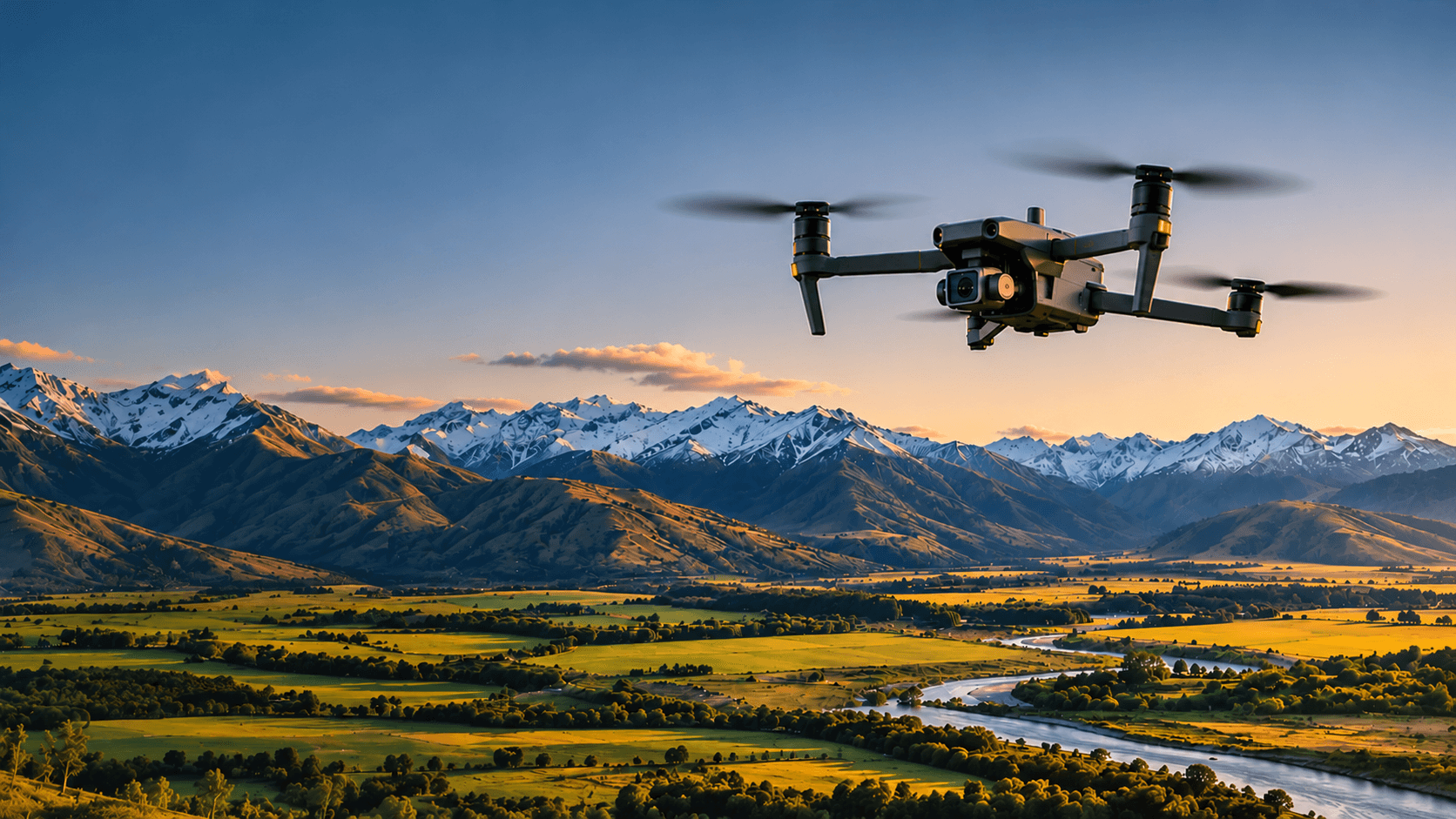
Professional thermal inspections and aerial mapping for infrastructure, property, agriculture and construction.
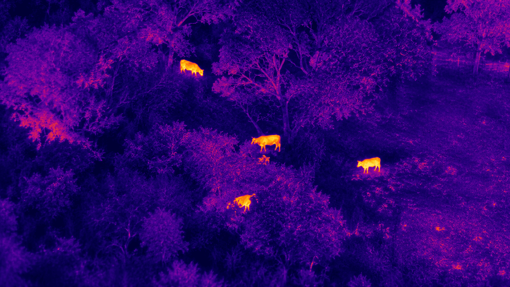
Identify temperature differences, locate livestock and investigate potential issues in buildings, solar installations and infrastructure.
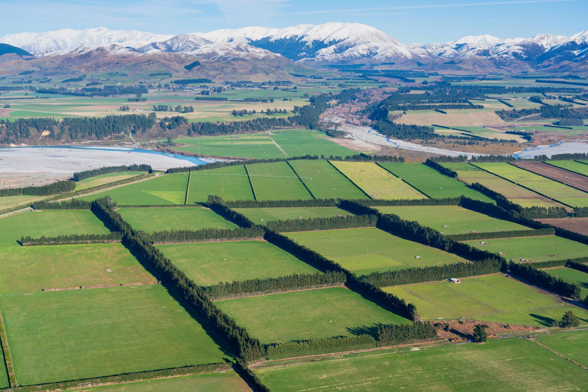
Detailed aerial imagery, property overviews, mapping and progress documentation for projects of all sizes.
We provide practical drone services for people who want to better understand their land, buildings, equipment and projects.
Whether you need a thermal inspection or detailed aerial imagery, our focus is on providing useful information, clear communication and a service you can rely on.
Thermal imaging allows us to identify differences in surface temperature that may not be visible through an ordinary camera. This can help locate animals, identify potential faults and highlight areas that need further investigation.
Thermal inspections depend on environmental conditions and visibility. Any suspected faults requiring specialist assessment should be investigated by an appropriately qualified professional.
Discuss an inspectionAerial mapping provides a clear view of your property or project from above. It can help you monitor changes, document progress and make more informed decisions.
Mapping accuracy and deliverables are agreed upon for each project. Certified surveying requires appropriately qualified professionals.
Discuss a mapping project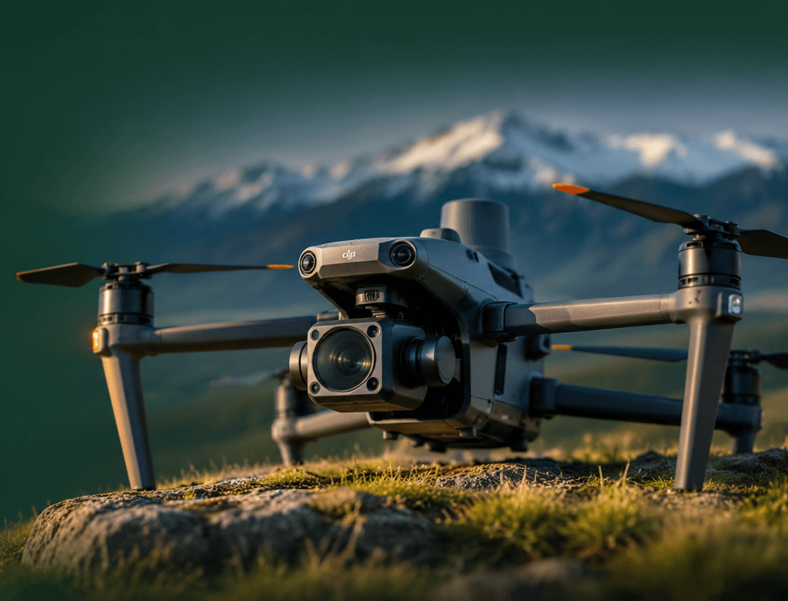
Advanced thermal imaging, powerful zoom and aerial mapping capabilities allow us to inspect difficult to reach areas and provide useful information from above.
Our services can be adapted to suit a wide range of businesses, properties and projects throughout Canterbury.
Thermal inspections and visual assessments of solar installations, equipment and infrastructure.
Aerial property overviews, livestock searches and regular farm monitoring.
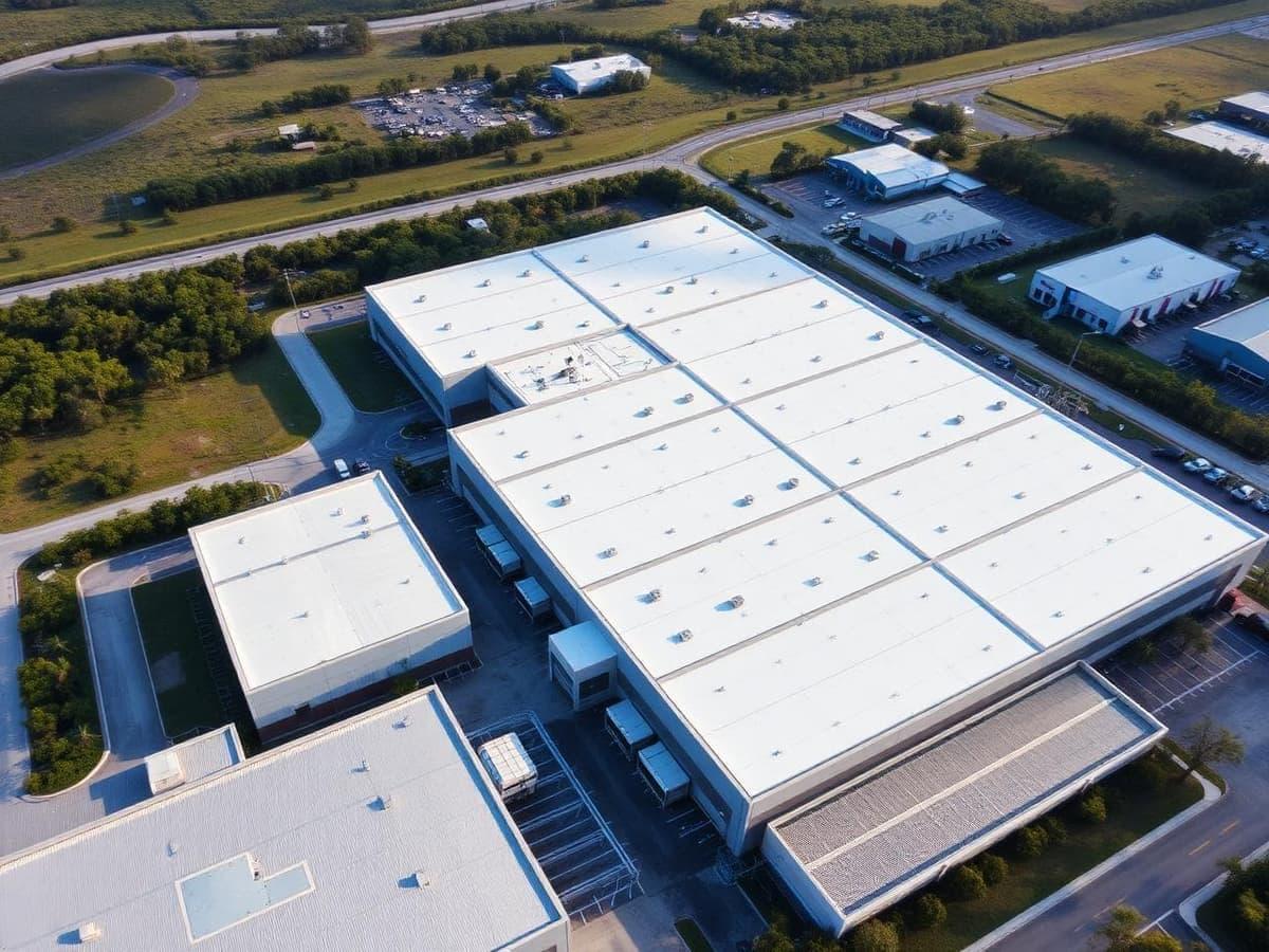
Building inspections, site imagery and construction progress monitoring.
Tell us what you need and where your project is located.
We discuss your requirements and work out the best approach.
We carry out the agreed inspection or aerial mapping work.
We provide clear imagery, findings and the information you need.
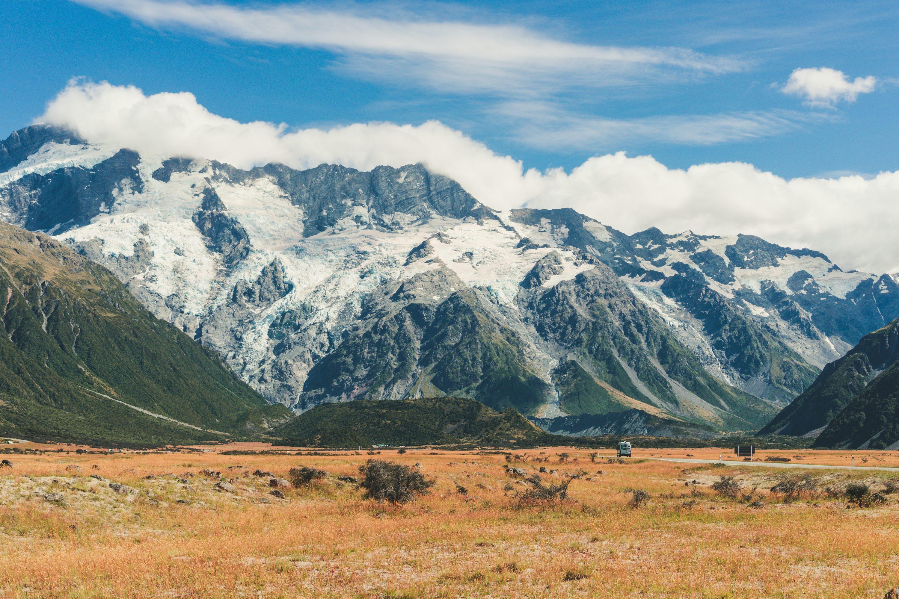
McKay Horizons is a Canterbury based aerial services business being established to provide professional thermal inspections and mapping.
We believe good business is built on trust, clear communication and strong relationships. Our aim is to understand what each customer needs and provide a service they can confidently rely on.
Get in touchWhether you have a specific inspection in mind or simply want to find out what is possible, feel free to get in touch. We would be happy to discuss your project and work out the best approach.
Tell us a little about what you need and we will be in touch.